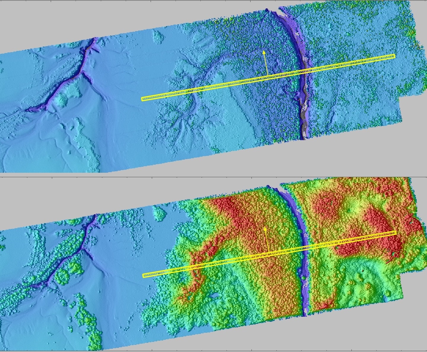
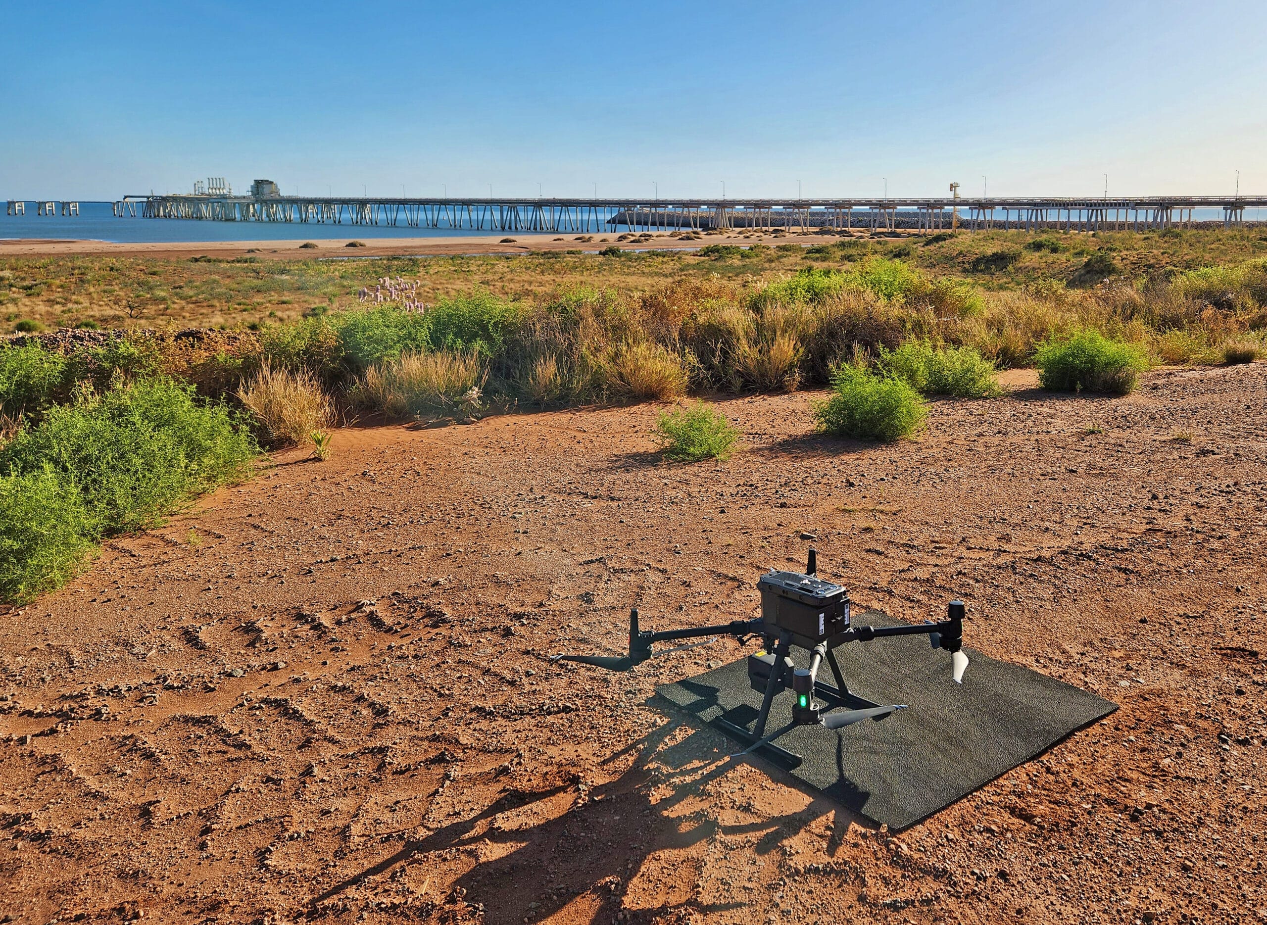
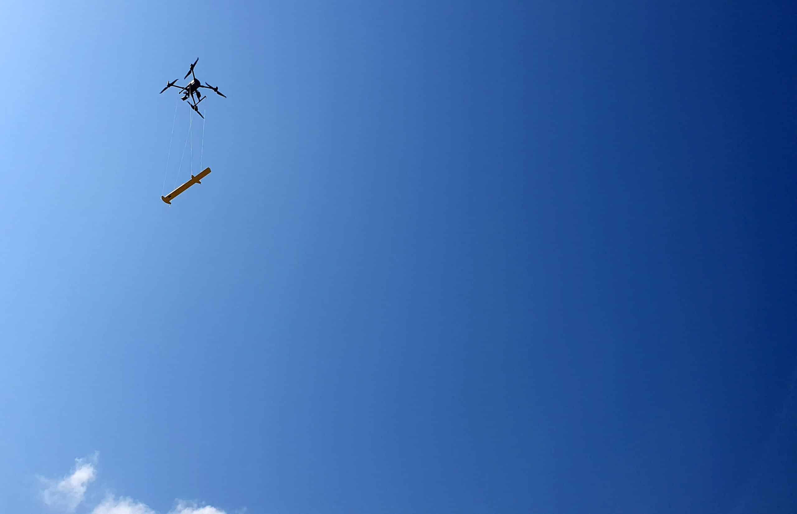
With the addition of drone technology, we have the agility to capture high-resolution aerial imagery and conduct precise surveys with unprecedented efficiency. Our drones are equipped with advanced sensors and cameras, enabling us to gather detailed data for a wide range of applications, including coastal zone mapping, inspection, and environmental monitoring.
This strategic expansion allows us to provide comprehensive solutions tailored to the unique needs of our clients. Whether it’s conducting topographic surveys for coastal development projects, inspecting offshore structures for maintenance purposes, or monitoring marine environments for conservation efforts, our drone operations enable us to deliver accurate and timely results.
Surrich specialises in a comprehensive range of drone-based services, including UXO detection, LiDAR scanning, photogrammetry, inspections, and multispectral imagery.
Surrich operate under a CASA approved commercial RPA Operators Certificate CASA.ReOC.7611