Zenmuse L1 LiDAR

Zenmuse L1 LiDAR

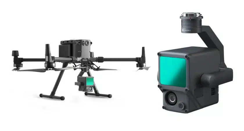
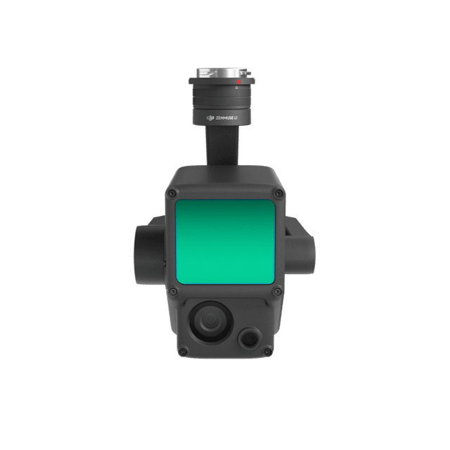
The DJI Zenmuse L1 integrates a Livox LiDAR module, a high-accuracy IMU, and a 1-inch CMOS camera on a 3-axis stabilized gimbal. When paired with the Matrice 300 RTK and DJI Terra, it forms a comprehensive solution that delivers real-time 3D data, efficiently capturing intricate details of complex structures.

Our Key Services

Hydrographic Survey

Marine Geophysical Survey

Drone Surveys

Best Technology and Software used in all your projects

Practical Experience in different classes of Equipment

Contact us at Surrich

Andrew Richardson (Certified Hydrographic Surveyor Level 1)

Justin Anning (Principal Geophysicist)

General Enquiry Form