Phantom 4 RTK

Phantom 4 RTK

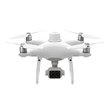
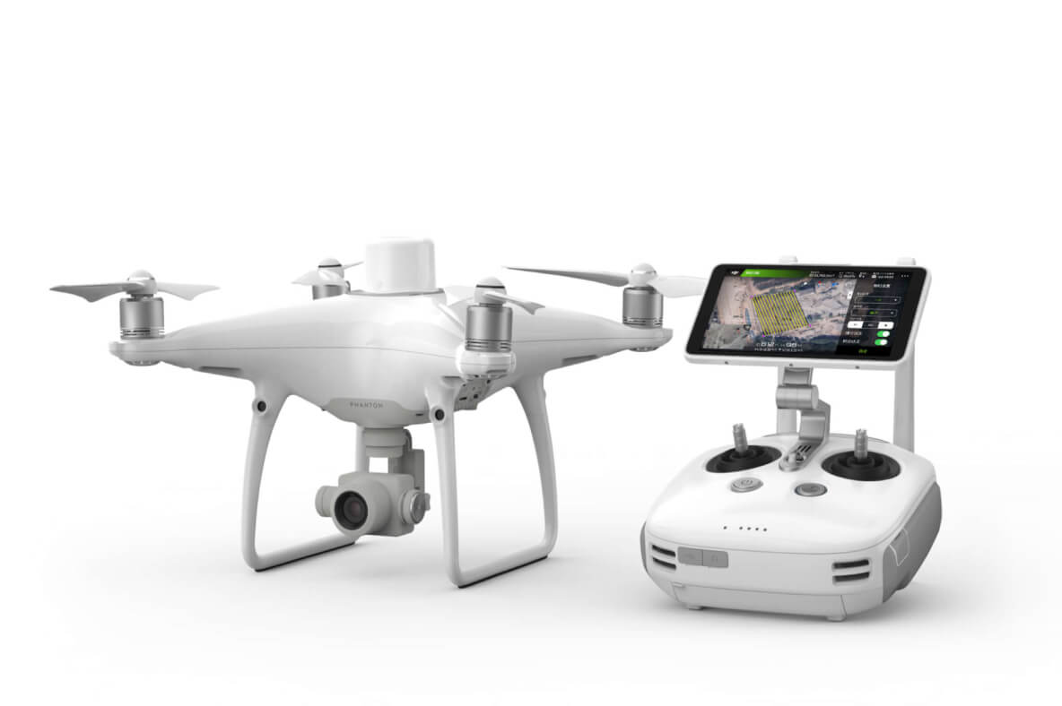
The DJI Phantom 4 RTK is a compact and accurate low-altitude mapping solution. It integrates a high-precision RTK module, a 1-inch 20MP CMOS sensor, and TimeSync technology, ensuring centimeter-level accuracy for aerial mapping missions.

Our Key Services

Hydrographic Survey

Marine Geophysical Survey

Drone Surveys

Best Technology and Software used in all your projects

Practical Experience in different classes of Equipment

Contact us at Surrich

Andrew Richardson (Certified Hydrographic Surveyor Level 1)

Justin Anning (Principal Geophysicist)

General Enquiry Form