Level 1 Certified Hydrographic Services
Using any vessel of opportunity Surrich can carry out a diverse range of surveys. A wide range of acoustic sensing equipment can be mobilised on to a vessel and provide the client with all the hydrographical datasets needed.
Surrich has provided its services for the following fields:
Navigational Safety: The purpose of hydrographic survey is to build and update the datasets used to safely and efficiently navigate at sea. Safe vessel navigation is not possible without accurate bathymetric data.
Dredging: Surrich has provided its expert knowledge to numerous dredging projects throughout Australia.
Surrich has experience in the following dredging fields:
- Capital Dredging
- Maintenance Dredging
- Plough
- Excavator
- Trailer Suction Hopper
- Dredge monitoring software integration
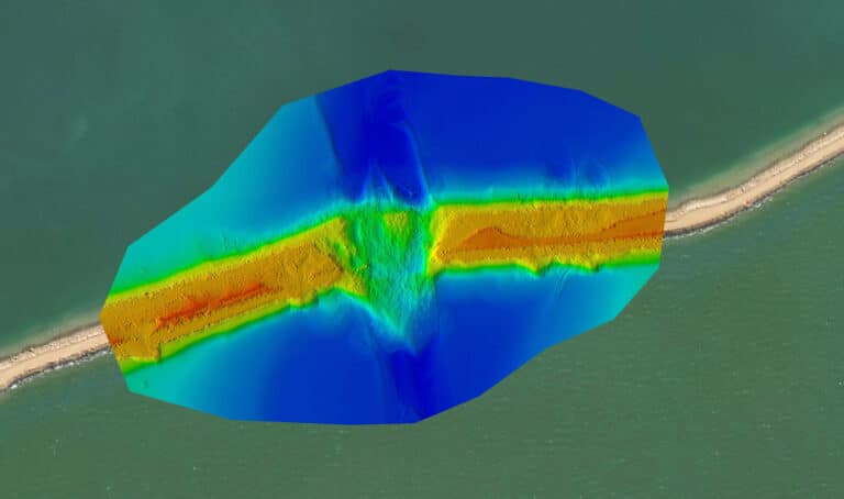
By predetermining the condition of the seabed morphology using Multibeam, Side Scan and Seismic surveys, our marine construction clients can better refine their methodology for it projects. This will in turn save time and minimise risk throughout the project duration.
Hydrographic surveys that are carried out for the purpose of integration into a ports DUKC model are of the highest accuracy. Surrich can provide these surveys which are approved by its SSSI Certified Level 1 hydrographic surveyor.
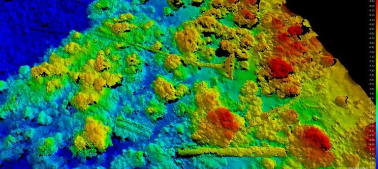
Habitat mapping is crucial to understanding marine environment. Australian waters are home to some of the most pristine coral reefs in the world. To protect these environments we must gain a better understanding of its extent, structure and distribution throughout the seafloor.