Here are some of the world class softwares Surrich used to add value to all the projects.
Beamworx
User-friendly and robust point cloud cleaning program for Bathymetric and Lidar point data. In times where software becomes more and more complex we present a new cleaning tool that is focused on day to day cleaning on board of survey vessels or near site.
RadexPro
RadExPro is seismic processing software for Windows, providing a comprehensive suite of capabilities. From real-time seismic acquisition quality control (QC) and in-field processing to the creation of final stacks, RadExPro simplifies every step of seismic data processing.
SBG Qinertia
Advanced tight coupling algorithm has been designed by SBG Systems to deliver the highest accuracy and maximize RTK availability.
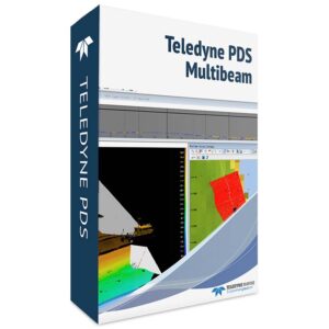
PDS2000
Teledyne PDS is a multipurpose software platform and supports a wide range of tasks within Hydrography, Dredge Guidance, Construction Support, Search & Recovery Operations and Port Entrance Monitoring.
